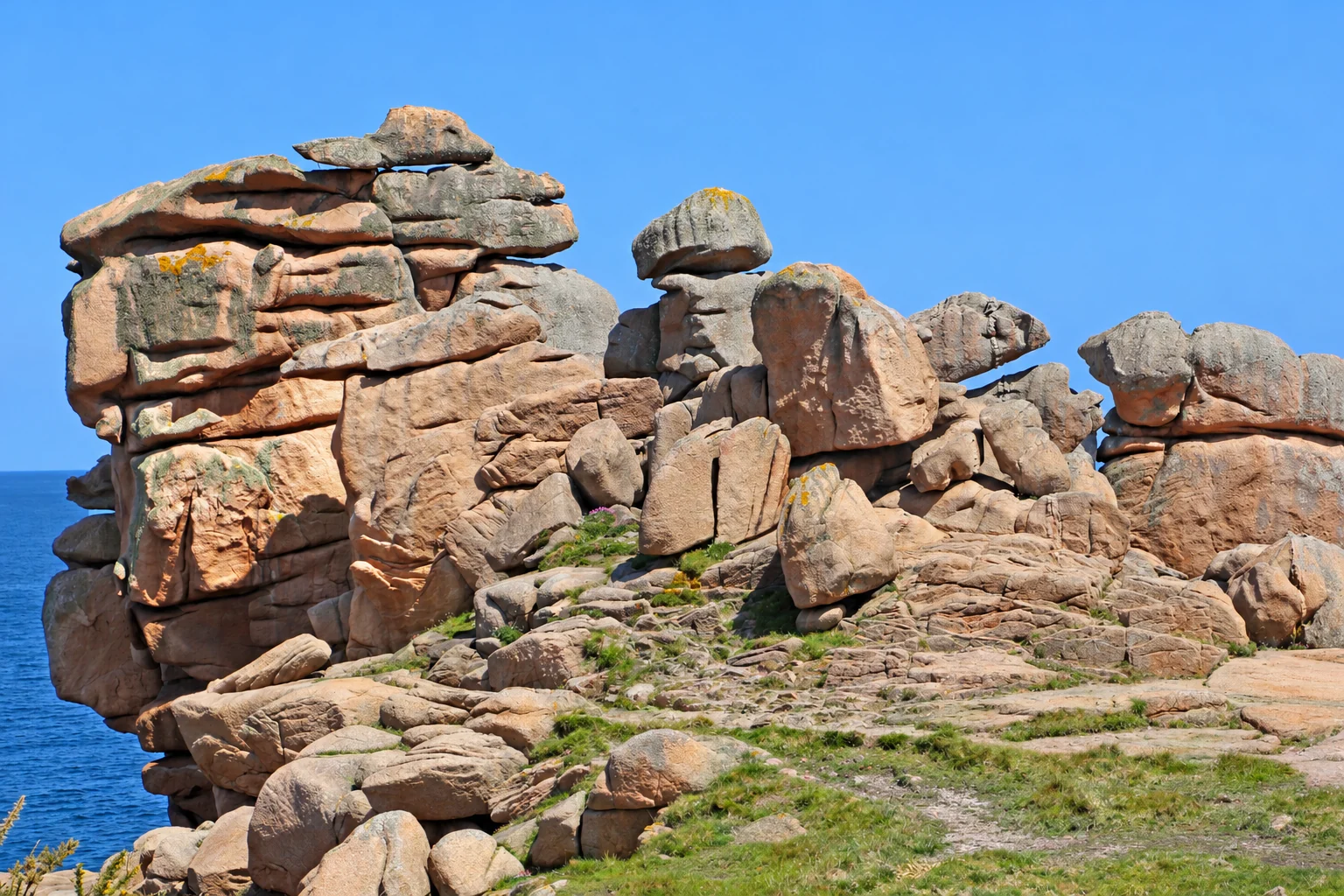
Granite, sea and changing light shape the coastal paths of Brittany’s Pink Granite Coast.
A distinctive coast
Around Ploumanac’h, pink granite formations shape the landscape. Coastal paths reveal changing views of rock, bays and water.
Highlight: Île-Grande
On Île-Grande near Pleumeur-Bodou, the coastal path links small harbours, beaches, dunes and rocky shores. Port Saint-Sauveur and the dunes of Toul Gwenn add variety. Tides reshape access: stay on marked paths and do not attempt crossings to offshore islands without suitable local guidance.
How the granite landscape formed
Around 300 million years ago, magma cooled slowly underground and crystallised into granite. Weathering worked along cracks; over millions of years water, frost and erosion exposed and rounded the blocks. The pink colour comes from feldspar containing traces of iron minerals. The photograph shows formations near Ploumanac’h, while Île-Grande lies farther west along the coast.
Tides and tidal range
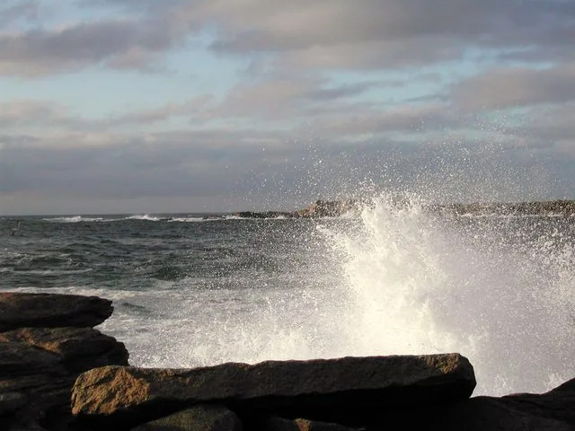
The tidal range is the difference in water level between high and low tide. Around Île-Grande it changes the appearance and accessibility of the shore; the tourism office explains spring tides, coastal places and precautions. Consult current local predictions before setting out.
Check the tides
For coastal outings around Île-Grande, check the tide predictions in the official SHOM portal and select a suitable nearby reference port. Tides, wind and waves affect access to the shore; follow local notices.
Further information
Plan your own outing
Find hikes in this region on Komoot ↗
These Komoot links show general regional route suggestions, not my own tours. Use them and plan your outing at your own risk and responsibility. Check trail conditions, difficulty, weather, closures and nature-protection rules yourself.